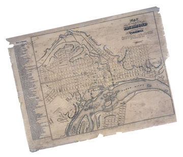
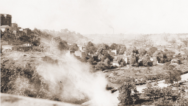
The original 1737 layout of Richmond placed the heart of the city in a verdant valley. This valley was named after the creek that formed it. The Powhatans called the creek Shacahocan – meaning stone – for the rocky outcropping at the mouth where it met the James River. Downtown, this creek weaved down along what is now 16th Street.
 In 1742, the city designated the land surrounding the creek as a town common, which stretched from the river up to Broad Street. In the common meadows, women laid out laundry, children played, and cattle grazed. Citizens bathed in and drank from the waters of the creek.
But as the city grew into the early nineteenth century, Richmonders harnessed the creek to serve industrial development. With a drop of 200 feet to the James, the creek soon sprouted mills along its banks. These businesses took advantage of the waters for both hydropower and waste disposal. Not easily controlled, however, the watercourse flooded often and quickly, taking lives, property, and the many bridges that spanned it. One such flood caused Gabriel to postpone his 1800 slave insurrection, as a violent storm flooded the creek the day of the planned attack, making movement around the city impossible.
As Richmond industrialized further, the town common disappeared and the creek’s waters became even more polluted. By the end of the Civil War, it had become an open sewer. Since Richmond did not divert its wastewater for treatment until 1958, the creek inevitably absorbed all the sewage, rainwater, slaughterhouse, and industrial waste of the valley. Eventually, the only thing to do with the foul creek – which had become a public health hazard – was to bury it in concrete. In 1923, the city did just that.
Today, the historic creek that carved our valley still courses beneath the streets of downtown as a part of the city’s combined sanitary and storm-water sewer system.
Photos: W. Palmer Gray Collection, The Valentine


